In order to use this website you need to accept the use of Cookies , our Privacy Policy , and our Terms and Conditions.
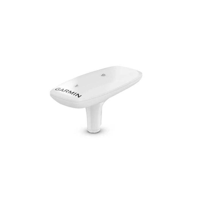
Garmin MSC 10 Marine Satellite Compass
R24,019.00
SKU
100240700


Description
Get reliable, accurate heading information with the easy-to-install GPS-based Garmin MSC 10 Marine Satellite Compass. The multi-band GNSS (L1 and L5 GPS) and multi-constellation (GPS, Galileo1, GLONASS and BeiDou1) receiver delivers precise positioning2. Get reliable, accurate boat heave, pitch and roll information even in rough waters. The built-in AHRS delivers better GPS heading information at high speeds.
Multiple receivers deliver heading accuracy within 2 degrees. Because it uses satellite signals, you dont have to worry about magnetic interference. You can use MSC 10 as the primary sensor for autopilots and other onboard systems that need accurate heading information. Get heading, pitch, roll and heave information delivered straight to your compatible Garmin chartplotter via the NMEA 2000 network. This compact device is simple to install and easily integrates into your Garmin marine ecosystem. Get better, more detailed tracking information, thanks to the 10 Hz position update rate. In the extremely rare case that you lose satellite signal, MSC 10 will seamlessly transition from GPS-based to magnetometer-based heading3.
Features
- Multi-band gnss and multi-constellation
- Boat heave and more
- Built-in attitude heading reference system (ahrs)
- Accurate heading data
- Primary sensor across multiple systems
- Nmea 2000 network compatible
- Easy to install
- 10 hz update rate
- Backup heading sensor
Specifications
| Dimensions (W X D X H) | 6.1 x 13.1 x 3.0 (155.5 x 333.6 x 76.2 mm) |
| Weight | 28.6 oz (810 g) |
| Cable Length | 19 ft 8 in (6 m) |
| Temperature Range | 5 to 158 F (-15 to 70 C) |
| Case Material | Glue sealed, high-impact plastic alloy waterproof to IPX7 |
| Compass-Safe Distance | 0 (0 mm) |
| Power Source Input | 9-32 Vdc, unregulated |
| Input Current | 180 mA at 12 Vdc |
| Nmea 2000 Load Equivalency Number (Len) | 6 (300 mA max) |
| Position Accuracy, Typical Marine Use | < 1 metre, CEP, < 3 metres, 95% |
| Heading Accuracy | 2 RMS |
| Heave Accuracy | 8 cm RMS |
| Free Shipping | No |
|---|
Write Your Own Review
Customer Questions